https://www.fs.usda.gov/r09/superior/recreation/trails/bass-lake-trail
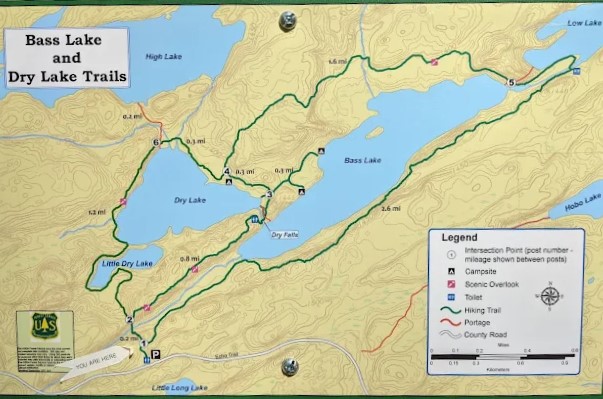
The Bass Lake trail system consists of three clear options: Dry Lake Loop, Dry Falls and Back, and Bass Lake Loop. You can, of course, link the first and last to go around Bass and Dry Lake (better pack a lunch!), but in this brief article I will discuss the obvious three. The trailhead for this trail system is just over six miles from our Redfeather Outdoors store in Ely, MN (https://maps.app.goo.gl/nN1nRm9NYHecg1UDA), an eleven minute drive. It is a great trail system with a mix of terrain that never goes beyond a moderate challenge.

Dry Lake Loop
3 miles – Low to Moderate Terrain – Approximately 1 hr. 15 min. of hiking
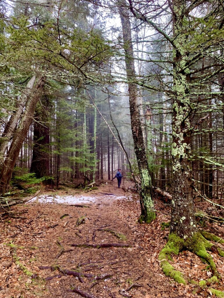
Dry Lake is a personal favorite of mine. It is a great distance to take the dogs on a hike without testing my youngest son (10) too much. This loop begins on the portage down to Bass Lake, but quickly takes a left at the junction located about 100 yards down the trial. After the junction the trail continues with an uphill portion that traverses a decent hill, but the trail is even and the incline is not too bad. For cardio, it is one of the trail’s most difficult sections (there isn’t any sustained climbing on the rest of the trail), which is good, because you’ll know quickly if you’ve bitten off more than you can chew. Once up the hill you will reach a fork. I prefer to hike this trail counterclockwise, so I take a left at the fork.
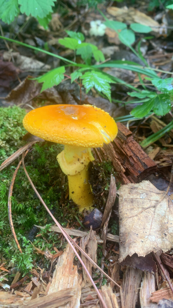
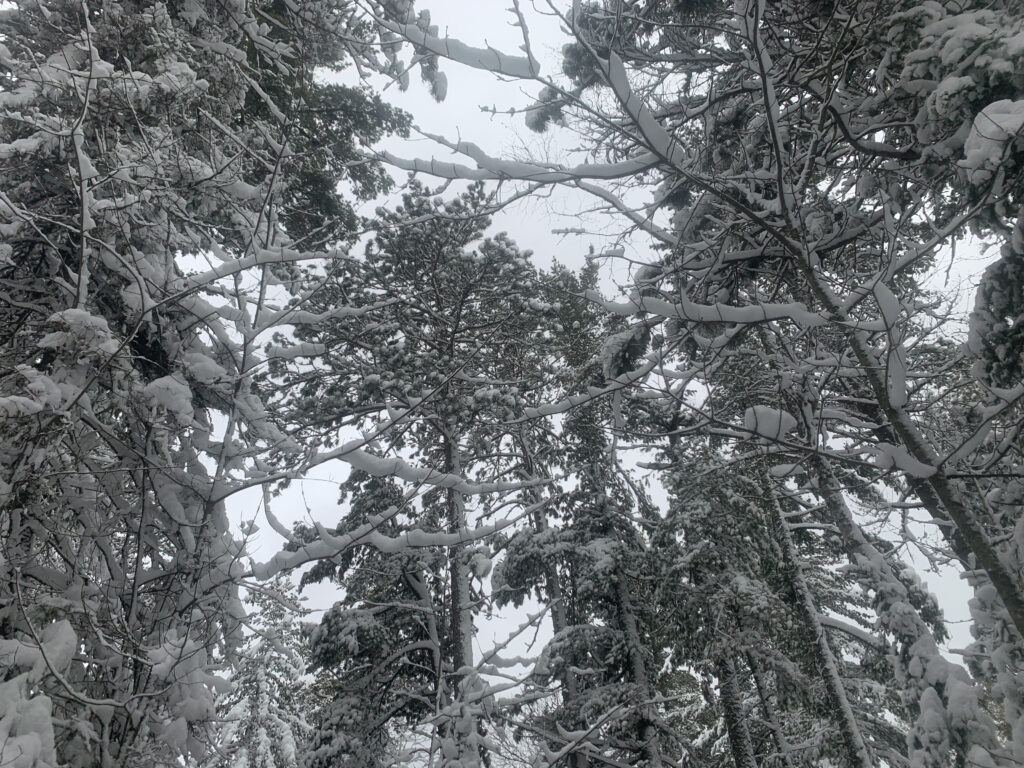
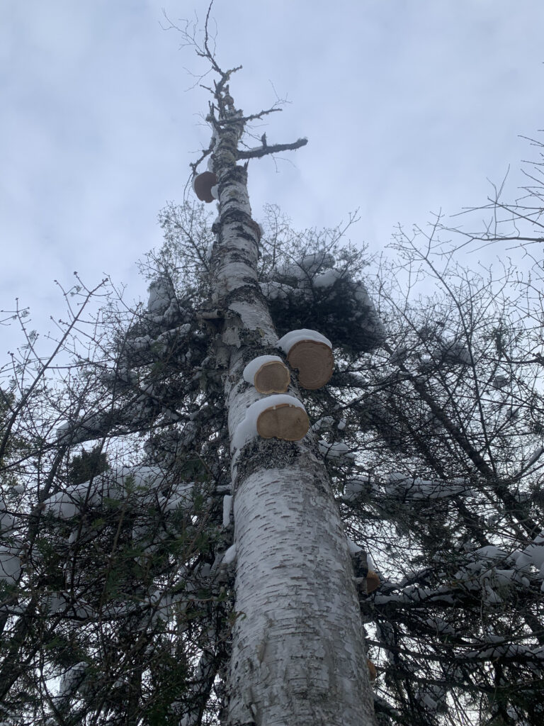
You then descend into a mostly flat, marshy area on a good trail, while rounding an inlet at the southwest end of Dry Lake. This leads up to a portion that crosses the bottom of a rocky hill. The trail here is firm and mostly straightforward, but there are a lot of baseball to football sized rocks embedded in the trail, requiring some attention to footing. Once through the rock field you will turn north along the shore of the main lake. This leads you through some deep woods that are beautiful, with low lying marshlands on both sides. Look carefully and you should see some mushroom activity as you start to follow the shoreline east. After crossing a bridge, you will have an option to head up on top of a large rock formation for an overlook. Either continue past the overlook spur or pick the trail back up on the other side of the overlook.
The next portion takes you over some terrain with more elevation gain and loss. There is a tricky descent near the portage to high lake (you can hike to high lake, but without a boat you won’t be able to do much once you arrive). Once down the tricky switchback hill you will enter a part of the woods that opens into some lush green vegetation that continues as you turn southeast, following the lakeshore. Somewhere along this portion you will reach a junction that meets the Bass Lake Loop (stay right to continue) as well as a few turnoffs for campsites. Finally, you will reach Dry Falls.
Dry falls is a great place to have a picnic or take a dip in the falls and lake. After your break at Dry Falls, there is a decent climb up onto the ridge that overlooks Bass Lake. The terrain is more up and down on this portion of the trail, and I will get more in detail when I discuss the Dry Falls and back hike, but the view is outstanding for the entire trail. You climb down a hill at the end of the ridge and will arrive back at the junction to Dry Lake. Head back down the hill traverse and you’ll be back in the parking lot in no time.
Dry Falls & Back
2 miles – Moderate Terrain – Approximately 45 min. of hiking
Many people hike this section of trail. It is short and the trail follows a ridge that overlooks Bass Lake for most of its length. You can hike it in the morning to wake up before getting on with the rest of your day or hike it at sunset for beautiful views. My recommendation would be to start early to beat the crowds. The two trail loops (Dry Lake & Bass Lake) stay relatively quiet for most of the trail, but this section can get busy, especially late morning into the afternoon.
You start the same as you would for Dry Lake. So, just to briefly reiterate, after turning off the bass lake trail and traversing the hill you will reach the junction to Dry Lake. Before you take a right at the junction to continue climbing up the ridge, take a rest from your last hill on a humungous bench installed by the forestry service a couple of years back. Once you’ve got your breath back, continue up the ridge enroute to Dry Falls. The views start from the top and continue all the way down to Dry Falls. To start you are looking out over cattails at the marshy southeastern end of Bass Lake, and finish overlooking the Lake. There is a fair amount of up and down on the ridge, but nothing too serious. Just take your time and enjoy the views.
Approximately 80% of the way to Dry Falls there is an overlook of Bass Lake. It is barely a detour and worth the 30 seconds it will take to climb down to it. It’s easy to miss, so keep your eyes open for a light trail on your right. Soon after the overlook you will start traversing down and around a knob in the hill, which will lead to Dry Falls. As I said before, Dry Falls is a great place to take a dip in the lake, or soak in the falls itself – there is a large pool before the main falls. There’s plenty of room to spread out and have a picnic if you want to make a day out of it.
Retrace your steps and you are home free.
Bass Lake Loop
5.5 miles – Moderate Terrain – 3 hours of hiking
The Bass Lake trail is pretty long for most people. Serious hikers will have no problem, and the trail surface is easy on the feet, but it is a trail that many people start with a time in their head and end up taking much longer. There’s nothing particularly difficult about it, but it does have quite a few ups and downs.
To start you follow the trail from the parking lot straight down to Bass Lake. You will pass the junction that leads to the Dry Lake Loop and directly to Dry Falls, walking gently downhill for about three quarters of a mile to the lake. If you are doing more than portaging a canoe to the lake, hang right to follow the path along the southeastern shore of Bass Lake.
After another half mile of hiking, which includes some decent elevation gain, you will reach a nice overlook of Bass Lake. The view is great, but there isn’t much in the way of seating, so I’d suggest waiting to take a break further on.
From the overlook the trail stays mostly on top of a ridge, but does some winding through the woods with some ups and downs. You stay along the long southeastern shore of Bass Lake for longer for a long stretch, long enough to make some wonder, but it is almost half of the loop, so just keep going. There are plenty of nice views and the forest is gorgeous in this section.
Next you will reach the northeastern end of Bass Lake, where there is a creek leading to Low Lake. This is a charming little area as the trail follows the creek to a bridge crossing it. After crossing the bridge you will reach a small campground, of sorts, where there are multiple campsites with fire rings. This is a great place to have lunch and take in the views, situated in a valley between two ridges, bookended by Low Lake and Bass Lake. There is plenty of grass here if you bring a frisbee and want to spend the day.
After leaving the campground the trail curves southwest, leading you over a large rockslide under a unique hill for the area (not the rocky outcropping you see most of the time, it almost looks manmade. At the top of this hill I have heard there is a historic CCC camp, but I’ve never confirmed this and I have no interest in climbing that hill – hah!
Continuing uphill there is a decent climb through my favorite stretch of forest on this trail, leading to a quasi overlook. You enter some dense forest here, losing some of your light, but it is a fantastic stretch of woods. You continue through the dense forest until you reach the junction with Dry Lake. Hang a left at the Junction to continue the loop (take a right to pick up the Dry Lake loop and extend your hike a bit).
The rest of the trail from this point is the same as what I covered during my discussion of the Dry Lake loop, from the junction onto Dry Falls. After covering as much trail as you’ve covered to reach Dry Falls, you are probably ready for a break, and Dry Falls is a great place to do so. If you brought your swimsuit, have a soak in the Dry Falls wading pool – it’s the best. Then continue up the ridge overlooking Bass Lake, and back down to the trailhead.
I hope you enjoyed my snapshot of the Bass Lake Trail System, and I hope you will find in helpful when planning your visit to Ely!
Thanks
Tyler
About the Author
Tyler is the store manager at Redfeather Outdoors in Ely. He moved to Ely in 2020 and has been exploring the surrounding wilderness with his wife and kids ever since. He is an avid canoe paddler, nordic skier, and hiker. He maintained a rental fleet of over 200 canoes at a prominent canoe outfitter in Ely for 5 years before signing on to help Redfeather Outdoors open its first retail store. His knowledge of the Boundary Waters Canoe Area Wilderness and Quetico Provincial Park is extensive. When he is not in the shop at Redfeather he is either out in the woods, paddling a canoe, or coaching his son’s baseball team. Visit the store anytime and say hi to Tyler. He loves nothing more than a good canoe story and will offer anyone tips on a good daytrip or how to fix your canoe,
About Redfeather
Redfeather Outdoors has built its reputation around gear shaped by real time outdoors, with a strong emphasis on durability and performance in the conditions people actually face. Our canoes and snowshoes are handcrafted at our facility in La Crosse, Wisconsin, reinforcing a commitment to American craftsmanship and consistent quality. That hands-on approach shows up in the details, giving paddlers and winter explorers confidence as they head into the Boundary Waters and beyond. To explore our full lineup and learn more, visit https://redfeatheroutdoors.com/
That same mindset carries into our flagship store in Ely, Minnesota, a location that fits naturally with the brand’s connection to the outdoors. The Ely store serves as a hub for trip preparation and practical guidance, offering insight shaped by experience along with access to gear built for northern Minnesota conditions. It’s a place where visitors can get ready and head out with equipment they trust.